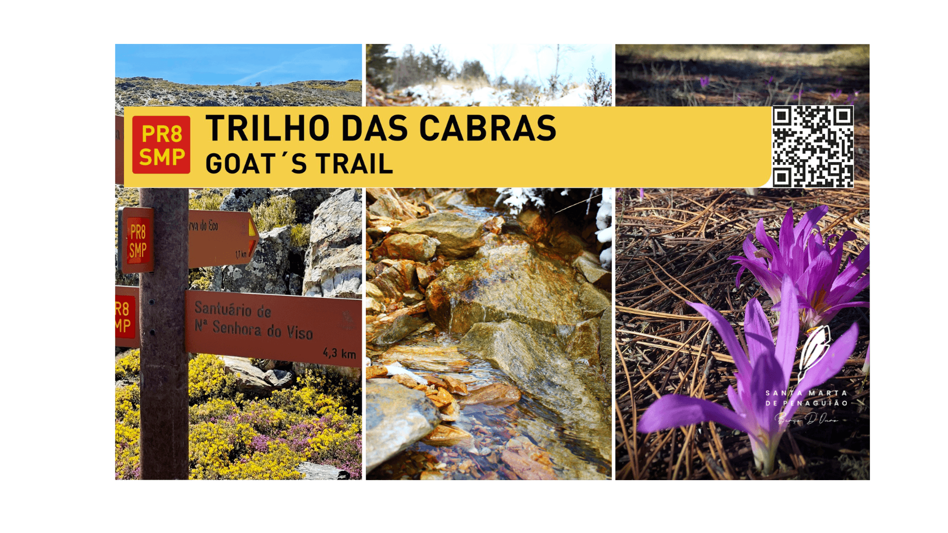
PR8 SMP Trilho das Cabras

To save the location as a favorite, you need to have an account
LoginNew around here? Let s go create an account
Description
The Trilho das Cabras is a pedestrian route in Pequena Rota (PR), starting at the Santuário do Viso, whose patron saint is Mrs. do Viso.
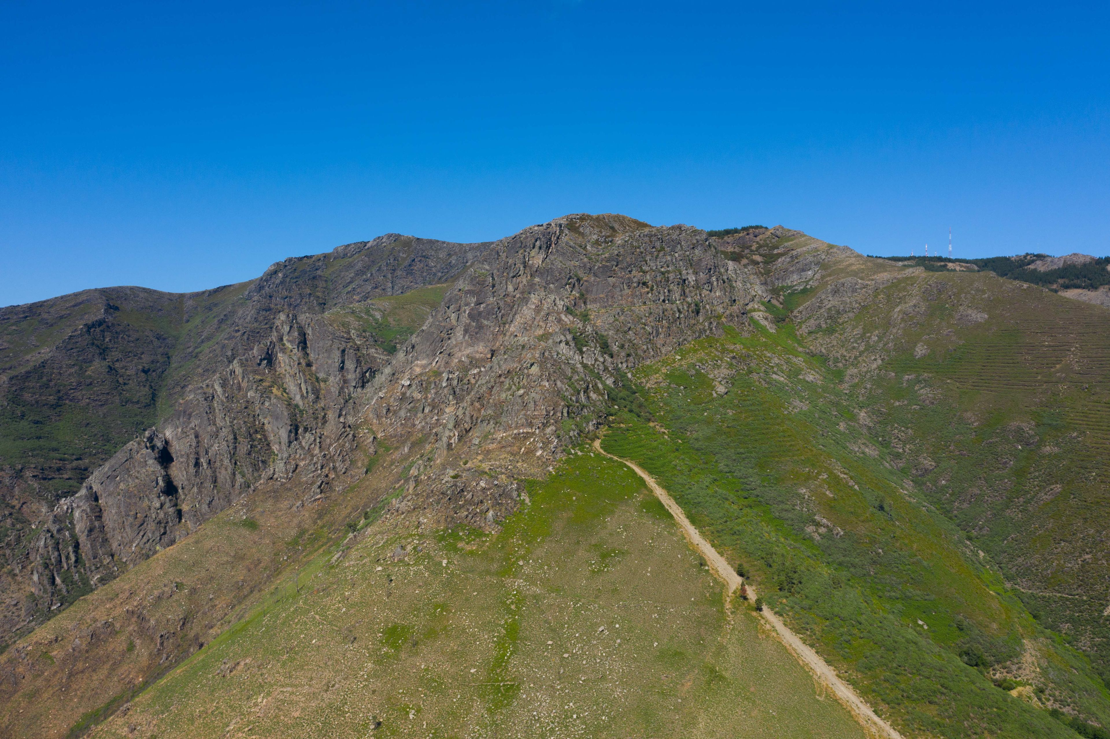
The trail starts at the Santuário do Viso and heads towards the foot of the Ermida cliff, one of the most emblematic geological monuments in Marão, it runs along the entire foot of this ancient cliff, going around it and climbing to its top, where we can have access to a splendid landscape. This trail allows us to admire the most beautiful things mother nature gives us. We followed the trails that for years and still today the shepherd takes the goats to their pastures in the mountains, which is why this trail has this name, as it is the route that the goats take when they pasture the slopes of the Serra do Marão. On this trip we can appreciate different species. The imposing chapel of the Ermida, which reaches its top, provides us with its splendid landscape.
Kms per day
Day 1 -
- Santuário Nossa Senhora do VIso
- Fraga da Ermida
- Curva do Eco
Recommendations
Despite the rudeness of the cliff and its surroundings, this habitat is home to several faunal species, including eagles, partridges, roe deer, foxes and others.
The griffon vulture (Gyps fulvus) is one of the bird species that has been seen in this territory, having returned after years of disappearance, which occurred at the beginning of the 20th century. XX, perhaps due to the various actions of poisoning wolves and large birds of prey, to protect livestock, even though the griffon vulture is a scavenging bird and, as such, its food is based on animals that are no longer alive.
This bird, which is the largest of the vulture group, can reach 1m in length, 2.7m in wingspan and 12 kg in weight.
Tips
The summit of Fraga da Ermida, formerly known as Monte de Penaguião, is at an altitude of 1,397m.
Not being the highest point of the mountain, the landscape that can be seen from this summit helps to clearly understand why the expression “Here from Marão, send those who are here”.
This mountain was the obstacle that separated Minho from the territory that, because it was so difficult to cross, gave the lands to the west of this orographic accident the name Trás-los-Montes. The steep slopes and enormous slopes were, until the 19th century. XIX, a natural obstacle that complicated travel: in addition to the rugged terrain, the harsh winters and the many robbers who waited, at every turn, for an opportunity for new loot, made these journeys difficult and dangerous.
From 1880 onwards it became possible to travel from Trás-os-Montes to Minho by train. The journey then took less time, but its cost was high for most people from beyond Marão, mostly agricultural workers in the many vineyards of the Douro Wine Region.
No. of people:
Total days:
1Total kilometres:
11.2 KmTotal Points of Interest:
3Points of interest on this itinerary